Dam Number 5 (MM
106.6)

It was mid-January, although it was a very pleasant
56-degrees, most of the Potomac remained frozen.
A photograph of the dam just before sunset. The young
woman in the photo is on her phone as a boyfriend is fishing below. The dam was
an important site during the civil war, especially since the river was the
dividing line between the union and the confederacy.
Just before arriving at the 107-mile maker, the path is
narrow as if makes its way around a large rock formation. The edge of the water
is close, and the rock face high.
I came across a couple who were walking a pair of Burmese
mountain dogs. Although the humans were hesitant, both dogs wanted to greet me.
As I usually do, I offered the back of my hand, fingers slightly curled to
prevent any temptation of tasting my fingers. The lumbering docile giants a
perfunctory sniff and then licked my knuckles. The canines were deferential,
and the episode reminded me of when people kissed the Pope’s rings. A few
minutes later, I came across a couple who, I had the impression, did not take
many walks. Given that it was very warm for January, the man greeted me and
said, “It’s a good day for a walk, isn’t it?” I was wearing my Penguins hat,
and decided to channel Badger Bob Johnson, “It’s a great day for a walk,” I
replied.
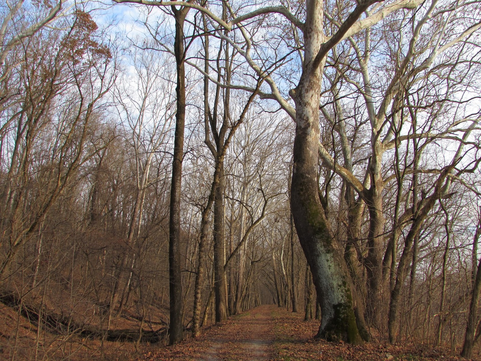
The trees are bereft of leaves. This offers a clearer
view of how fallen and leaning trees have become intertwined with one another.
They create complex sculptures that are fascinating to examine.
I photographed this deer at Camp Spring Run, a small
creek that runs into the Potomac near mile marker 108. I was walking along the
path and saw five wild turkeys and two deer. Before I could turn on my camera
and focus, the turkeys began to scatter, which spooked the other deer. But the
young buck in the photograph was confused and just looked around, seemingly in
confusion, while the other six animals ran into the woods.
The remnants of Charles Mills, dating to 1790. The mill
closed after the 1924 flood, which ended commercial activity on the canal. A woman
who was walking a border collie commented, “It’s impressive, isn’t it?”
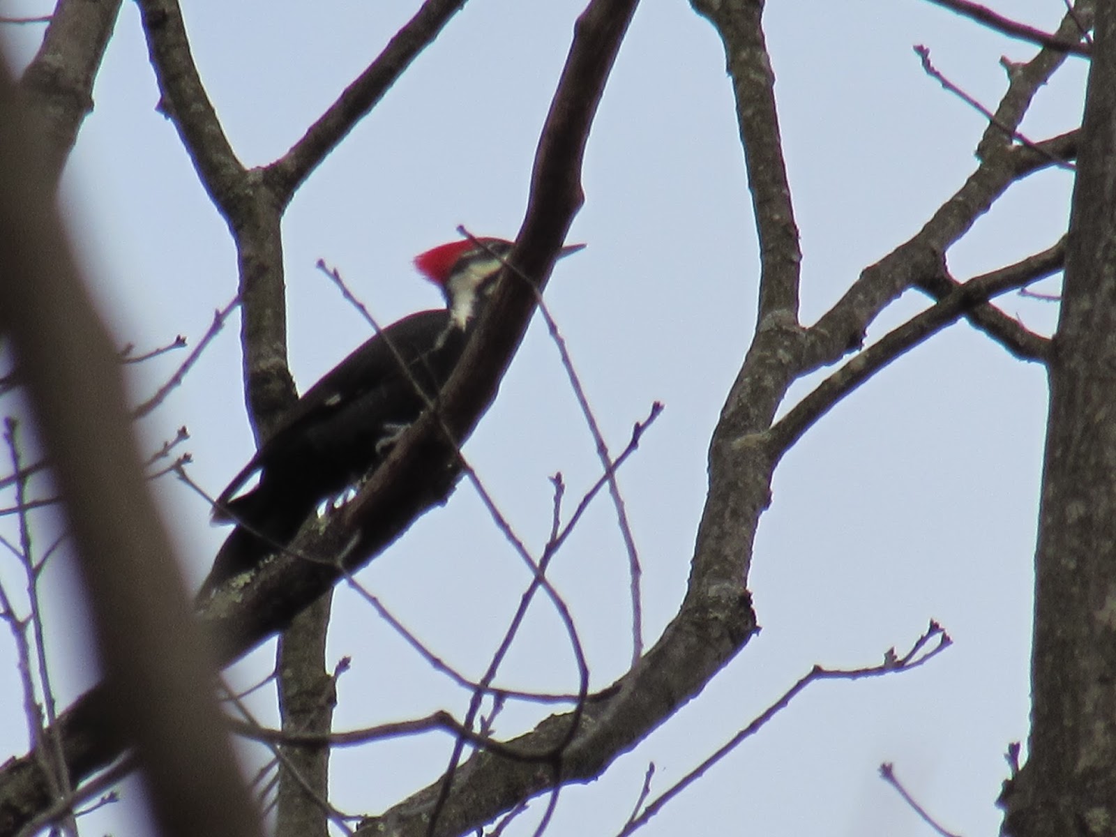
A couple of pileated woodpeckers flitted among the trees overhead;
however, they rarely want to be immortalized in photographs.

Several abandoned and semi-abandoned structures dot the towpath.
A small cabin, of dubious structural integrity, stands across the canal from
the towpath at mile marker 109. I espied
it while walking alone; photographing it from a distance, though multiple trees
and bushes, which was not satisfying. I explored the dry canal, looking for an
easy way to cross it, with the lowest possible risk factor. It was about ninety
minutes before sunset. A wrong step, or an unforeseen injury, could have meant
a night alone in the woods. Yet, the allure to explore was strong. I managed to
find a relatively easy way down to the canal and across its bed, navigating the
undergrowth, much of which, with particularly sharp thorns. I scaled the wall
on the far side of the canal, about four feet high with a sharp incline to conquer
afterward. My jeans were muddy, but I was none the worse for wear.

Carefully I crept to the cabin, because buried beneath
the leaves was a fair amount of undetermined debris. Upon closer inspection, it
was apparent that the cabin was listing to the right and rear. Seemingly
unsteady, I knew better than to even place a single foot inside. Peaking in
through the front door, signs of occupancy were still evident. Wallpaper,
adorned with faded roses, still covered about half of a wall. A painted blue
wooden door, fading from exposure to the elements, retain metal hooks used to
hang coats. It is small artifacts that reminds us that people, actual human
beings, once habituated in this structure. It was not a great edifice, but it
was someone’s home. Did they love this domicile? Were they proud of this modest
residence? I consider the structure’s age, but I do not have the background or
expertise to make such a judgment. Was it a witness to the end of commercial
traffic on the canal in the 1920s? Walking around the perimeter of cabin, a woodpecker
was so close and noisy, that at first I believed it was harvesting a meal within
the structure. It took no notice of me but continued to pound away pine tree
that hung over the cabin. Directly below the woodpecker’s skinny tree, a
disconnected drainpipe dangled, probably as a result of the collapse of the
foundation.
Completing my circumnavigation, I peeked into a bedroom
window, askew from the ravages of abandonment. The remains of a mattress and
blanket were scatted across the collapsed wooden floor, although my
identification was based upon frame of the mattress rather than the shreds of cotton
stuffing. Looking into this bedroom made me even more melancholy: It had not
been very long since this structure had occupants. The living conditions for
the last residents were likely not optimal.
 Prather’s Neck
 – Majestic American Sycamore trees, their
white branches standing out against the gray winter sky, are numerous in this
area. The towpath, and the remnants of the canal, diverge from the Potomac at
Prather’s Neck. The river makes a large loop, almost in the shape of a cursive
L. The canal shaves over about one mile by cutting across this short piece of
land (half a mile).

There are steps from the trail down to the remnants of a
stone structure, just prior to mile marker 110. I encounter a young woman is
wearing a pink fluorescent cast on her left arm, but her right is fully engaged
with her phone. She sees little else but her phone and is surprised to see me.
I do not see many people along this section of the
towpath. It is because it is somewhat away from more popular access points and
it is the middle of January. It gives me an opportunity to reflect and
contemplate. This week I received the news that the death of Allen’s brother
was ruled a suicide weighs on my mind. Although I knew this to be the case, it
does not lessen the blow to the family. I also had a biopsy taken from a spot
on my chin. More than likely it is nothing serious; however, it is a reminder,
nonetheless, that in life the clock is always running; there are no
timeouts.

There are several culverts along this section of the
trail, carrying small creeks and streams beneath the canal and towpath. In some
places this is quite obvious because in the gulley that was once the canal
there are no trees growing because not far below the surface is a bed of stone
that lined the bed of the canal. The small streams and creeks are too numerous
to keep track or count.
McCoy’s Ferry (MM
110.0)
There is a campground at McCoy’s Ferry Road. It is very
nice, perched adjacent to the Potomac, but in January there is no one camping.
It is a very mild winter’s day, 57 degrees, but large chucks of ice are stacked
along both sides of the river. A light breeze, every so often, brings very cold
air off the river. Suddenly, the river has pulled away the foundation of ice
and several pieces escaped into the river. The float downstream and I imagine
that they will grow smaller and melt into the Potomac before very long on its
journey to Washington. Although the collapse is small in scale, nothing like
the collapse of a glacier off the coast of Alaska say, it makes a tremendous
roar as it echoes across the narrow valley.
I continue walking to the sound of constant and
continuous reports of gunfire and surmise that there must be a shooting range
on the West Virginia side of the river.
Accessing the
Trail: Four Locks and McCoy’s Ferry

Getting to the trail is often as interesting as the trail
itself. Several narrow bridges are found along Big Pool Road (Maryland 56), between
Pinesburg and Big Spring in Washington County. The bridge that crosses Little
Conococheague Creek is so narrow that only one vehicle can transit the bridge
at a time. Constructed in 1907, there is a stone marker in the middle of the
span noting that it was built by the Nelson Construction Company of
Chambersburg, Pennsylvania. Clearly well built, the bridge has survived floods
and weather, yet continues to carry automobiles, for which it was likely not
designed, more than a century after its construction.

Shank Road, a small lane at the western foot of the
bridge, provided a convenient place to park while I took some photographs. It
too held an architectural surprise. Less than a tenth of a mile from the
bridge, a viaduct carries railroad tracks across both Shank Road and the creek.
What is uncommon is that in their era of road safety, there is no guardrail
between the road and the water. An unobservant driver could easily misjudge both
the width of a car and the narrow lane, to find his/her partially submerge into
this picturesque creek.

February is a challenging month to walk as it is. The
weather in this area, as well as the short days, makes finding good times to
walk difficult. Between battling a cold, and the nettlesome problem of plantar fasciitis,
it has been over a month since I have walked the towpath. Nevertheless, early
March means that the weather is still unpredictable. The recent heavy rains and
high winds resulted in many branches litter the trail and, in many places, the
water in the canal is higher than normal. The crystal blue sky is a sign that
the trail is on the cusp of spring. Despite a 7-mile walk, I meet no one for
the first two hours. Selfishly, it is a great day: solitude and quiet. In the
coming months there will be an increase in the number of cyclists and I will
have to pay closer attention to where I am walking. But for now, I can wander
and stare into the treetops without the fear of being run down.
An online guide for cycling the towpath suggests that this
portion is the most difficult because of the large gravel and ungraded
sections. It is an area that develops deep ruts, and erosion creates potholes. Perhaps
this is why I find it so appealing. I spy a couple of red-bellied woodpeckers
scrambling to hide in a hole within a sycamore tree. I remain still and watch
for a few minutes, but I resist the impulse to take any photographs even though
woodpeckers are my favorite type of birds. I take some time to observe the
comings and goings of these busy birds. The sound of woodpeckers tapping on a
tree, especially if it is hollow and the deep thud reverberates through the trees
and beckons me to pay attention. I do not always know where to look, and for me
that is part of the fun. It is a search, more complicated than a word search,
less static than Waldo; a puzzle to consider and figure out. I continue to walk,
realizing that I am upsetting their routine. The woodpeckers, sparrows and
robins must pay close attention to me. I am a potential threat that must be
observed. Just as cyclists can interrupt my ruminations, I upset the routine of
our avian friends.
I stopped to watch a round (flock) of robins frolicking
in the canal bed and noticed that just a few feet from me something is
burrowing just below the surface. I could hear what I presumed to be a mouse,
or other rodent, gnawing on some morsel beneath the leaves and grass. Perhaps
it could see me, after a few seconds the ground no longer moved, and the
gnawing stopped. I waited for a several
minutes and nothing appeared. I am constantly amazed by how much we do not see during
our travels and explorations. There is a whole world at our feet, and most of
us are clueless to its complexity.
Fort Frederick
State Park (MM 112.4)
Fort Frederick is a restored 1756 fort built during the
French and Indian War. A couple of decades later, during the Revolutionary War,
the fort housed British prisoners of war. From 1860, the area was owned by an African-American
family who farmed the land until it was purchased by the state of Maryland in
1922. Today, as a state park, its primary focus is on eighteenth century
history.

The floods of March 1936 affected much of the Northeast of the United States. A contemporary federal government report noted that the floods “constituted a major catastrophe,” resulting in erosion, bridges and roads being washed away, and transportation seriously affected. A small marker near the towpath at the park, designates the high-water mark and contains two names. I assume that they are victims, long-forgotten to most.
 |
| The CCC History Museum at Fort Federick |
 |
| American Sycamore in the state park |
Big Pool
As I walk, I am reminded of the bulletin board in my
elementary school teaching students that, “March comes in like a lion and goes
out like a lamb.” The nineteenth century idiom was very popular when I was a kid,
but today. Although mid-March, and a week from the beginning of spring, it is
40 degrees. A Nor’easter is blowing off the coast, and there had been a dusting
of snow the night before. The winds, becoming gustier as I walked, reminded me
that the lamb-side of March had yet to appear.

I had lunch at mile marker 113, a place sometimes called
the dragon’s teeth. It is difficult to discern the purpose of the structure,
but I eventually learned that it was a spillway for excess water from the
canal. Before my walk I stopped in Ernst Country Market, located at the
intersection of Maryland 56 and Dam Number 5 Road, to buy a lunch to take in my
backpack. It is a store that takes one back in time, despite its modern décor.
The deli counter has hot meals and sandwiches made to order. Near the entrance
of the market, there are several bins of traditional candies. I ordered half a
sub with ham and swiss, both components shaved as I waited, and a small
container of chocolate covered peanuts – a treat for the coming week. Other people
were picking up salads and vegetables for a Saturday afternoon at home.
The market is an intersection of different people; young
and old, rural and suburban. A group of construction workers came in for lunch.
One young man purchased a large bag of flavored potato chips and a two-liter
bottle of highly caffeinated soda. I cringed. Of course, I said nothing. I did
not even give him a second look. I was no more than background filler to his
day, someone who had slightly impeded his quick trip to the store. It would
have been inappropriate to comment on his choice of lunch; in fact, his lunch
could have been a one-off. But I suspect not. What would my 19-year-old self
said to someone warning me about my diet?
I contemplate how a simple ham and cheese sandwich can be
as I watched and listed to Canada geese on Big Pool. An elderly couple were walking a couple
hundred yards ahead of me, taking their time watching birds before I stopped
for lunch. On a walk of seven and a half miles, they would be the only people I
would see on a gorgeous, but chilly, Saturday. I decided to give them some time
and space so that the birds they sought were not spooked by me walking. Upon finishing
lunch, I find the couple had not substantially moved, making very little
progress. I soon overtook the couple and offered a greeting. About half an hour
later, when I passed them on the return trip, they still had not made much
progress, the gentleman offered a piece of exciting news. “We just saw and heard
two wood ducks about half a minute ago.” I feigned excitement saying that I
would watch for them but was also dubious. Had it only been thirty seconds
prior, I too would have heard the ducks as well. Then again, about five minutes
later I did hear the call of wood duck.
 |
| Railroad Bridge near MM 114 |
The railroad bridge, near mile maker 114, was part of a
short run built to link the B&O station at Cherry Run, West Virginia to the
Western Maryland Railroad at Big Pool. The bridge hangs low across the path and
the canal. Surprisingly, the tracks are easily accessible to the curious. While
still in use, I suspect it is infrequently so. My supposition is based upon the
fact that a large nest, for a bird of prey, had been constructed in the corner
of girders about halfway across the bridge.
Accessing the trail from Ernstville Road
 |
| Culvert between MM 114 and 115 |
 |
| The bark has been stripped away from a dead tree |
Licking Creek
Aqueduct built between 1836 and 1838